 Log In
 Register Now!
 Help
Help


This is the first time I've been able to get the full distance across the bay (~10km) as foreground images with Mt Tamalpais in the background.
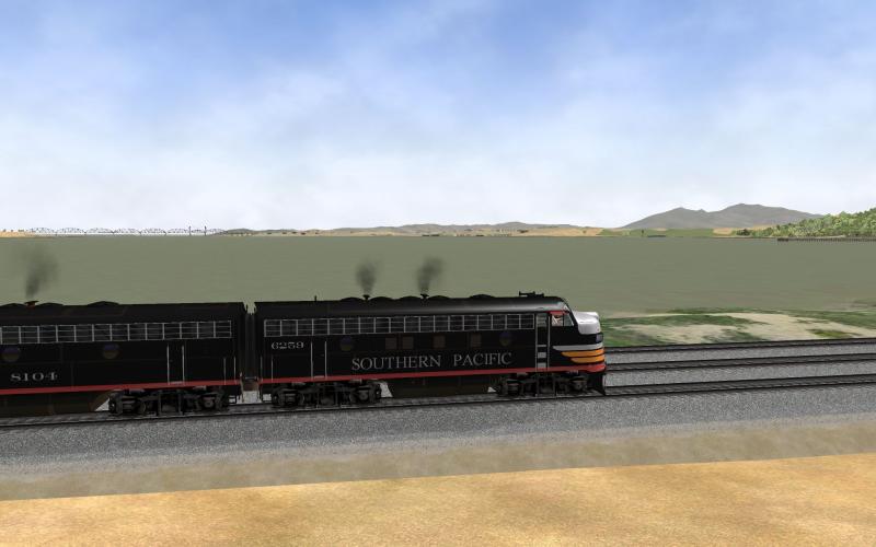
Same issue here WRT distance... the locomotive is at Nevada Dock and the track sweeps around the right side of the screen, past Martinez and up to the Benicia Bridge
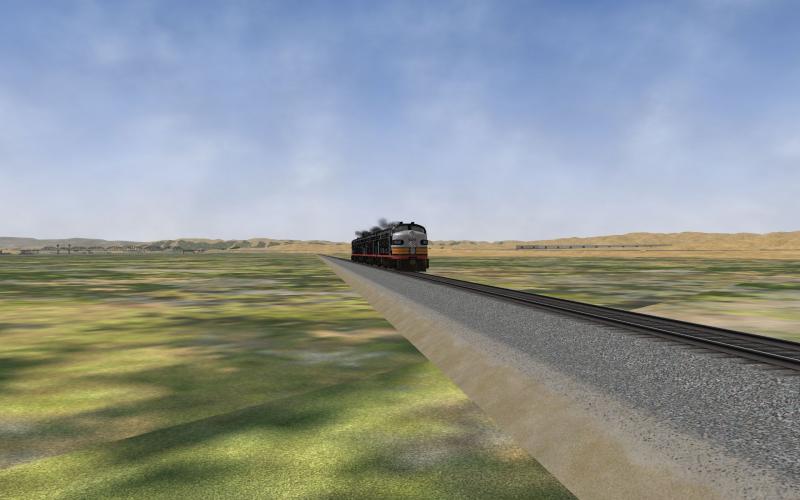
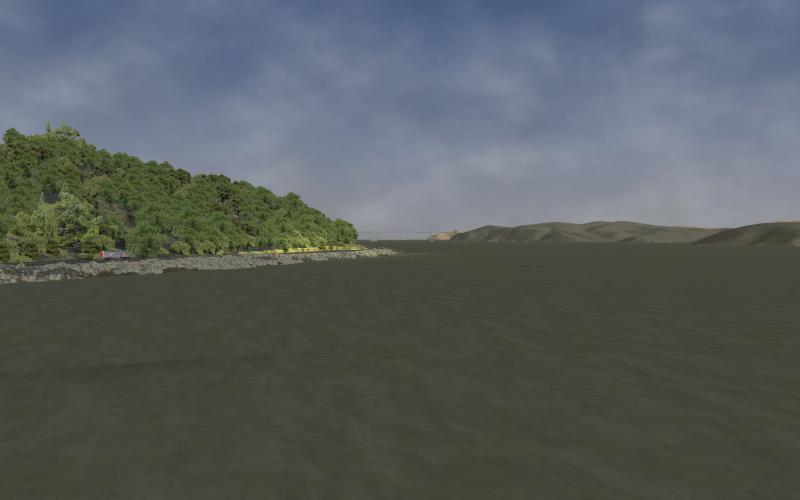
I like using the Solano marshes to check out vistas... great expanse of perfectly flat marsh surrounded by higher terrain. The background is Martinez and the Benicia Bridge.
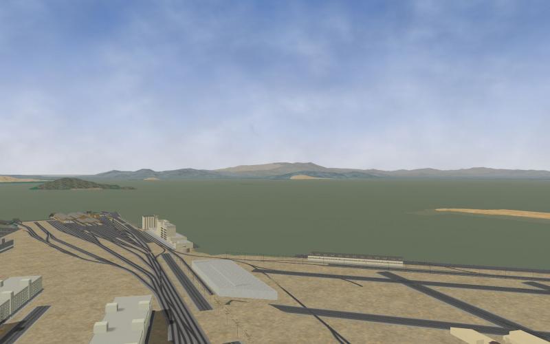
When checking my work I'll raise the camera up pretty high -- small aircraft altitude -- and take in the long view. This one is looking southwest over Martinez/Ozol, across Contra Cost and Alameda counties, all the way to Marin, SF, and San Mateo counties on the far side of the bay.
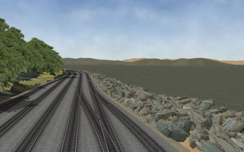
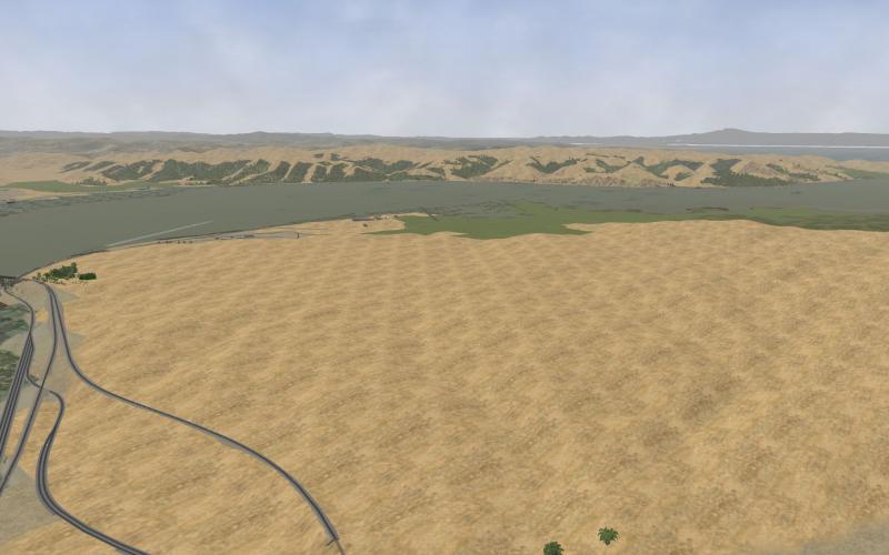
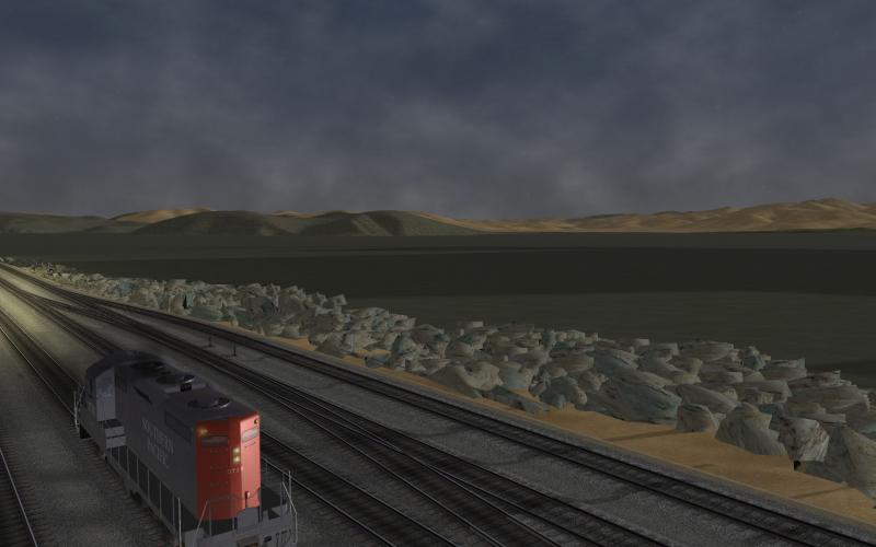
IIRC this view from the west end of the Port Costa yard never had DM and now it does. I'm always fiddling with water textures, never really satisfied. The problem is I have three distinct types of water and the sim offers just one set of water textures. SF Bay can be brilliant blue... or deep ocean green, depending on the day and view; The Sacramento River is always full of silt and its color runs from a light blueish gray to murky brown and then there are the sloughs in the marshes which are always a deep green from the reflection of the reeds and rushes over shallow mud bottomed channels. The firt few screenshots are a previous version of water... the last one is what I'm reviewing right now. It's frustrating to say the least.


