Log In
 Register Now!
 Help
Help


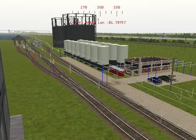
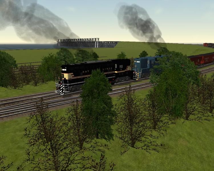
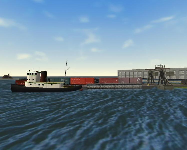
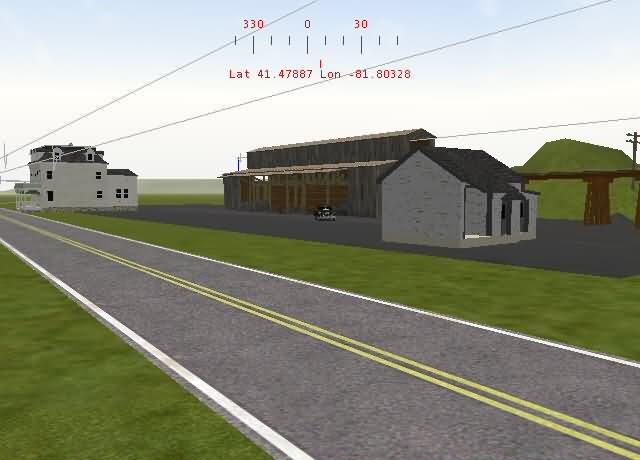
First picture shows the lakeside storage facility for the Hovey Refining Co., one of the larger shippers on the BF&NE. Just to the right of the facility is the NYC, with the NKP running beside it.
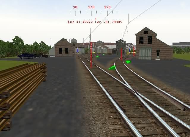
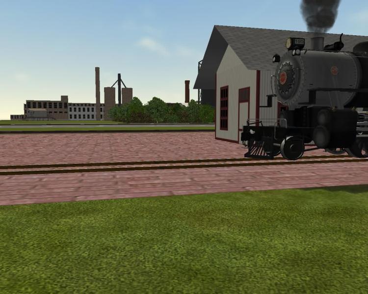
I like to call this area "Bay Forksonia", just because it reminded me of Orbisonia, PA once I was finished. Engine terminal and shops for the BF&NE.
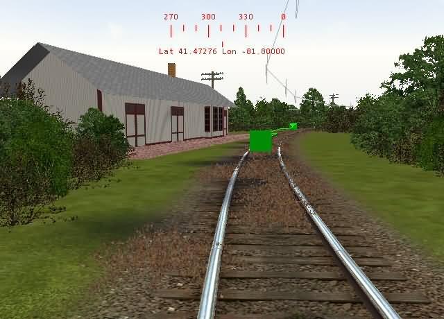
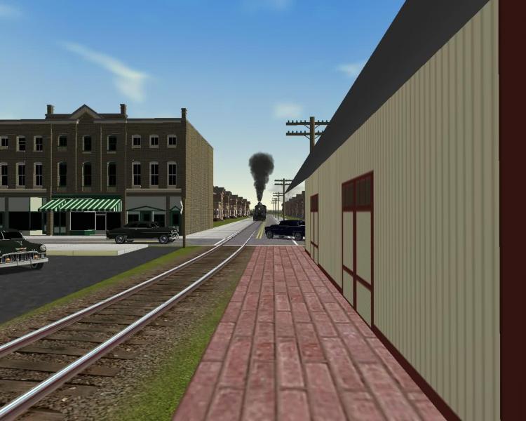
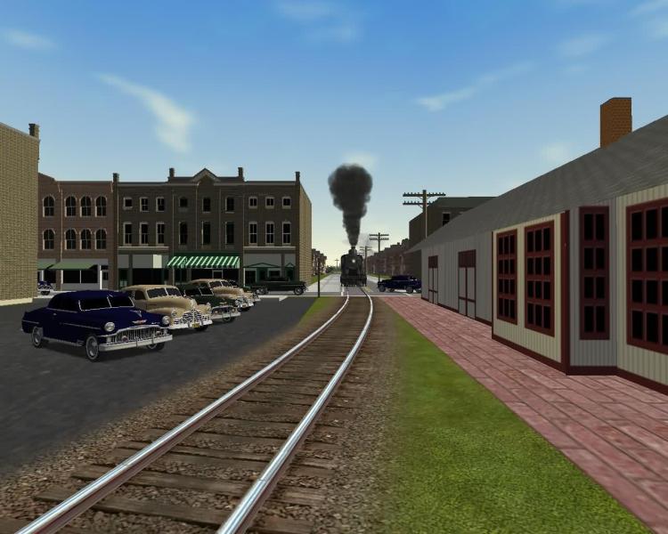
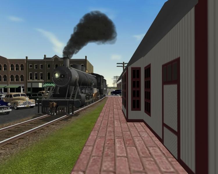
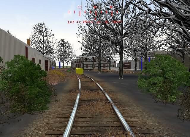
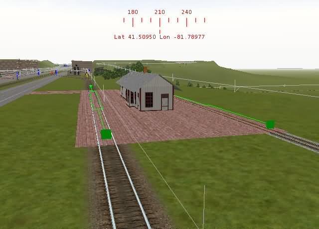
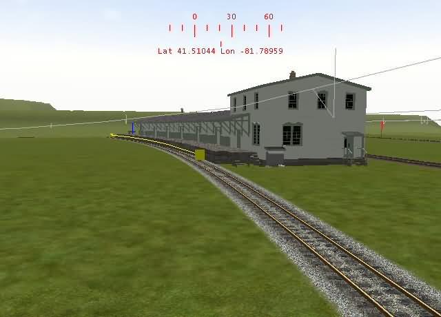
Depot at Bay Fork, not used much anymore, passenger service slacked off after the war. Any passengers moved now are handled by the EMC motorcar and trailer coach.
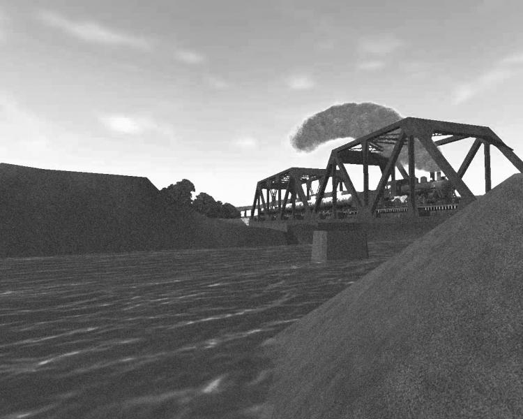
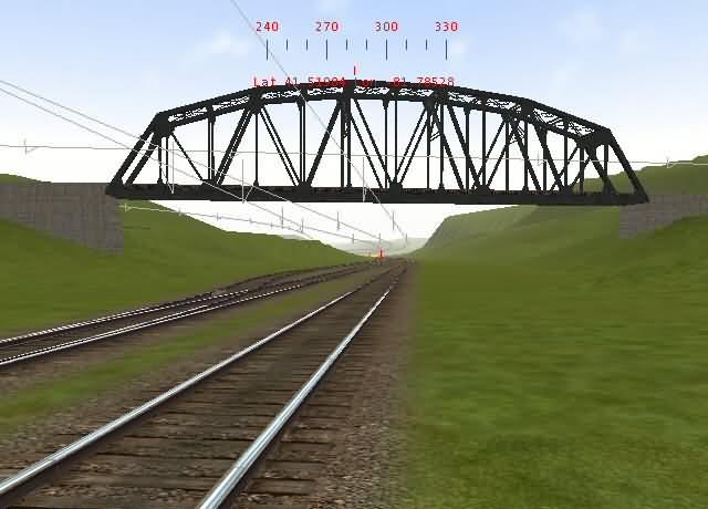
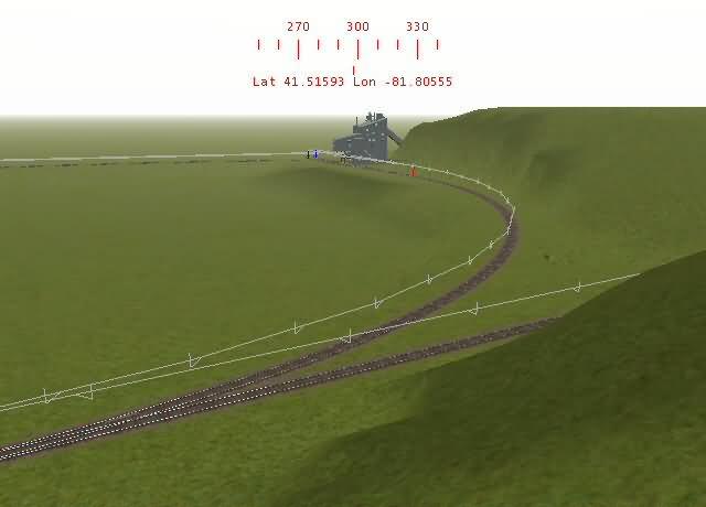
BFL coal dock, looking North. NKP/NYC lines underneath, Erie to the right, Ohio to the left.
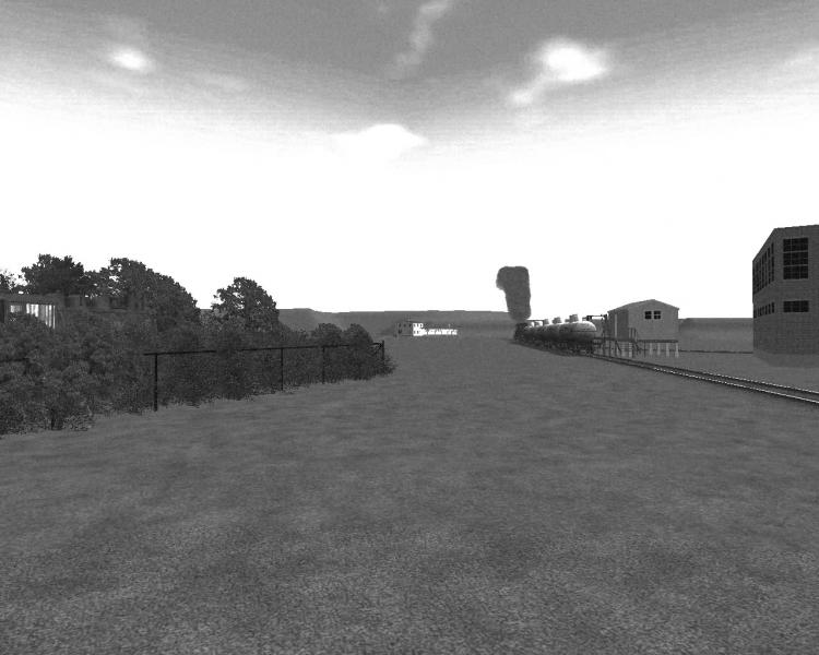
Next customer on the BF&NE, Kyle's Coal Dealership, located on a spur east of the main.

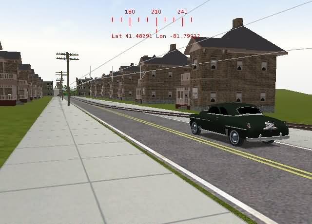
Next station on the BF&NE's passenger timetable is Mike's Landing. Here the BF&NE does some street running, causing quite a bit of congestion on Sunday mornings before church...
End of street running... I think that car broke down right there..... ;-)
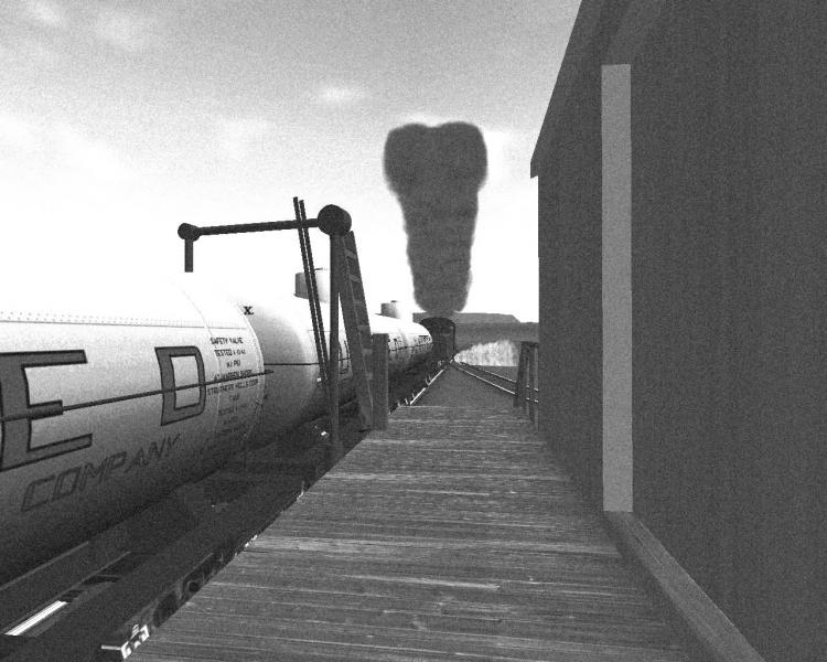
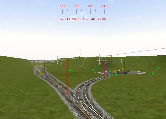
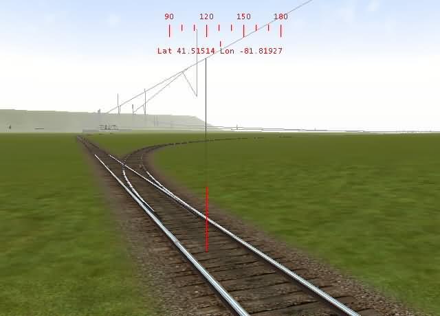
At this point, the BF&NE has a cutoff that eliminates the towns of Sulfur Creek (thank God!), Kyle, and Coal Hill. It drops off to the left. A cement plant is located off the spur to the right beyond the water column (TDB line is visible)
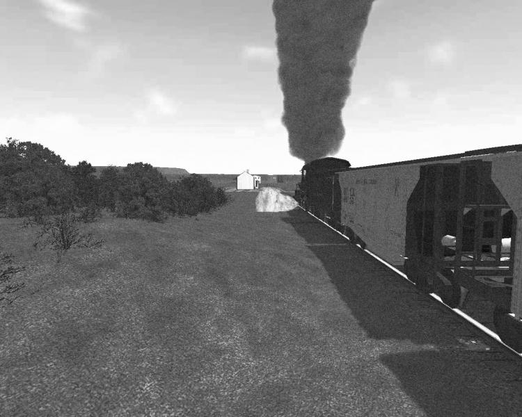
Next Stop, Sulfur Creek....... Welcome home?
Sulfur Creek Depot.... Needless to say a single train hasn't stopped here since the fire started in a coal seam below the town... Now all the houses and shops are boarded up, and the streets have started to cave in... Surrounding geographics prevent the BF&NE from building around the town, so trains continue to pass through, albeit with a speed restriction.
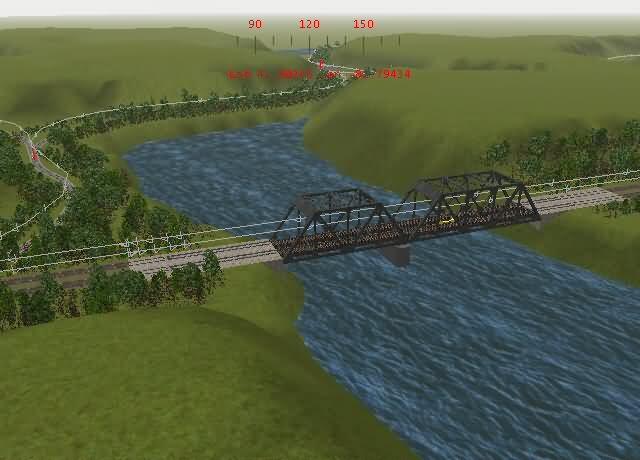
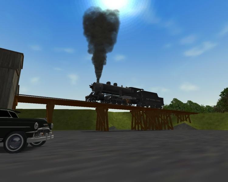
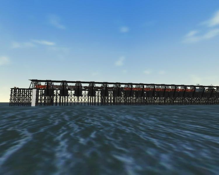
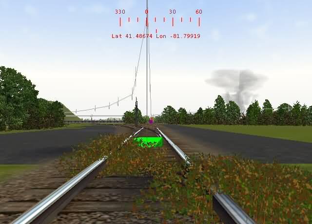
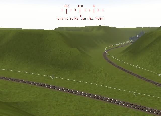
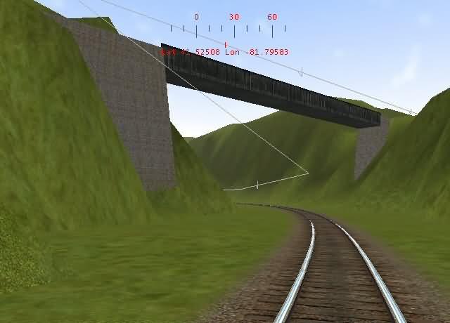
After Sulfur Creek there's a bit of a grade, then the BF&NE crosses the Mike Laxer High Bridge. It may not look high above the surface of the water, but trust me, that's a deep hole it crosses! It's rumored that during the construction of the line, a small locomotive owned by the contractor derailed on the shoddy temporary trackwork thrown down while grading was completed, and fell off of the temporary bridge. Records from the construction of the current bridge (built 1933) mention a crew having to cut part of a large steel object on the bottom of the lake to make room for the central pier, although no further information is given.
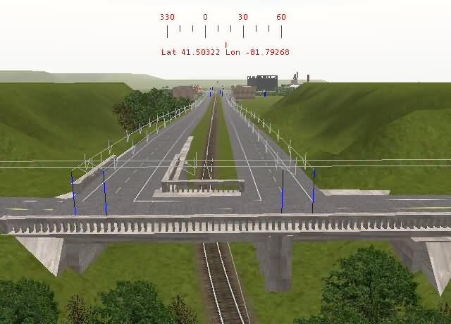
On the other side of the High Bridge, State Highway 33 crosses the BF&NE right-of-way on a concrete overpass. Kyle's main streets slope down from this on an inclined bridge (under construction in this pic.)
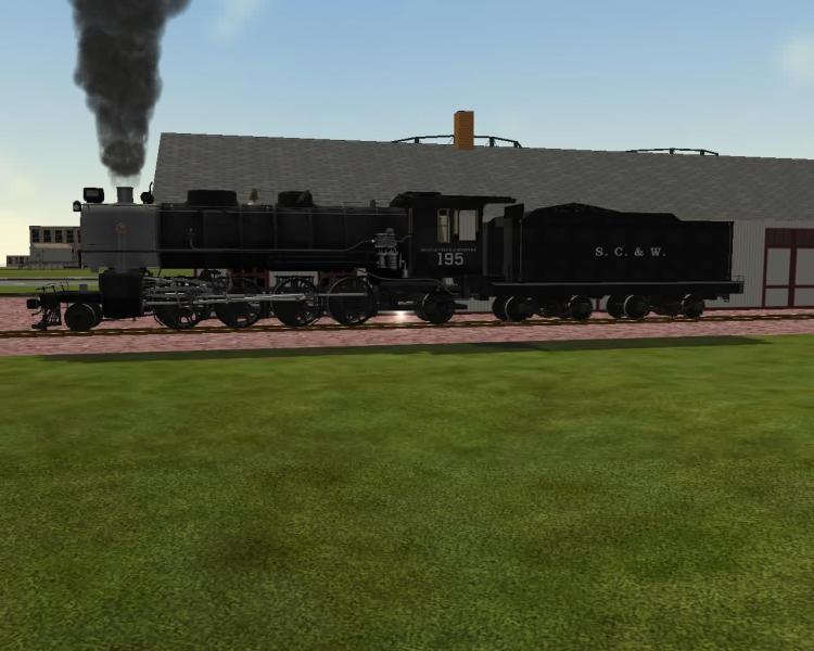
Shared BF&NE/SC&W depot at Kyle, PA. BF&NE trackage runs through the center of town to the left, SC&W runs down from the top of the mountain to the right of the depot.
Shared freight house at Kyle. BF&NE siding runs to the right, SC&W mainline to the left.
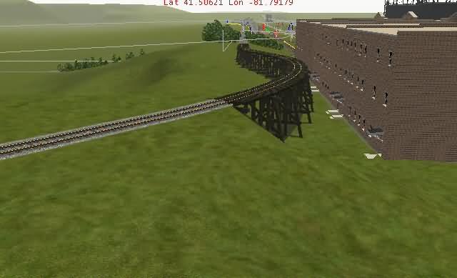
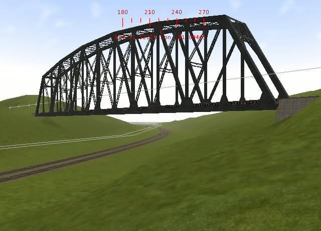
South of Kyle, the BF&NE faced another problem. A drinking water reservoir surrounded by hard rock mountains stood in the way of the BF&NE's interchange with the Pennsylvania Railroad. After much deliberation with city officials, the BF&NE was finally granted the right to build a bridge over the reservoir.
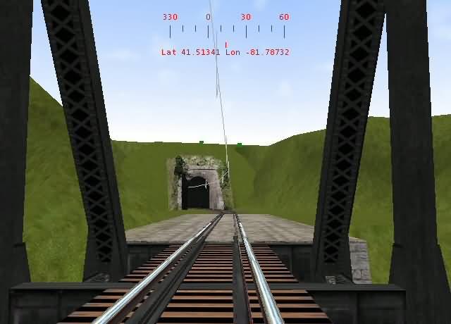
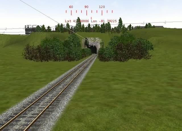
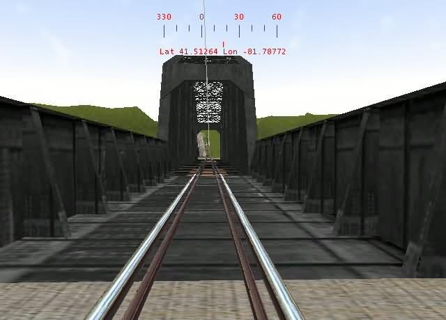
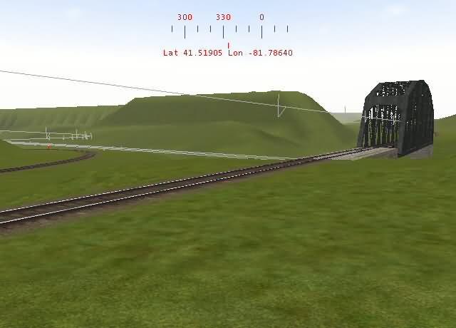
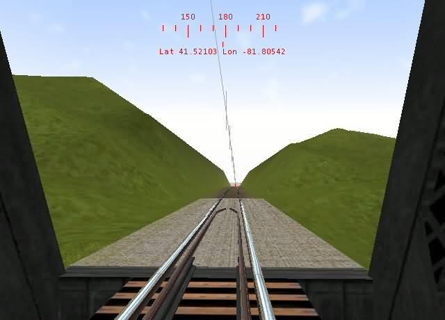
Directly after the Kyle Bridge, the BF&NE ducks into a curved tunnel through the hard rock.
On the other side of that tunnel, a spur drops steeply to the left down to a small interchange yard with the PRR at Coal Hill, PA.
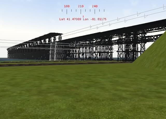
First BF&NE bridge over the PRR line from Buffalo, NY to Crestline, OH
Above the town of Coal Hill, the BF&NE services two coal mines, this is T. W. Muir Coal Co. Mine #1.
T. W. Muir Mine #2 from high bridge over branch line.
The branch line to T.W. Muir Mine #2. The main line of the BF&NE drops down off the mountain from the left, continues on behind the camera. Branch to Mine #2 drops down to right.
Bridge from which picture of T. W. Muir Mine #2 was taken, carries BF&NE main over valley. Almost reminds ya of Pittsburgh, eh?
This panoramic shot shows the plain that the town of Coal Hill will occupy. In the background is the BF&NE/PRR interchange yard, a large strip mine is off to the right waay over in the back.
Second BF&NE bridge over the PRR Buffalo/Crestline main.
As you may or may not have figured out, the BF&NE could never do things the easy way... On the other side of the second overpass, the line drops down into an area known by crews as "The Cut".
T.W. Muir Coal Co. had a Mine #3 below "The Cut", but a cave-in in the late 30's forced the closure of the site. Some say the cave-in was caused when the Pennsylvania Railroad moved its S1 6-4-4-6 Duplex West to Crestline. With that single locomotive weighing in at 608,170 lbs., I wouldn't be surprised!
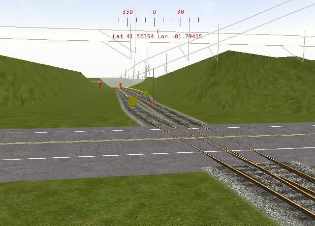
At this point, after ducking under the PRR, the Kyle Cutoff returns to the BF&NE main. Currently the End of Track is about fifty feet behind me.
Stay tuned for the next installment of screenshots, The Sulfur Creek & Western... Bazza, you'll be drooling over this one...... :birthday:
This post has been edited by Nickboy90: 23 July 2008 - 06:32 PM