Log In
 Register Now!
 Help
Help


 wacampbell, on 04 April 2018 - 06:10 AM, said:
.. but where are the trains?? ha ha .
A bit further away than I wish.
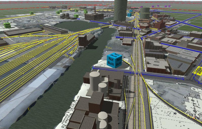
The rail situation changed quite a bit between 1947 and 1952. I don't have exact dates for the changeover from street cars to buses so I can fudge unknown facts for the better. The stub terminal used by the elevated was removed right before 1950.
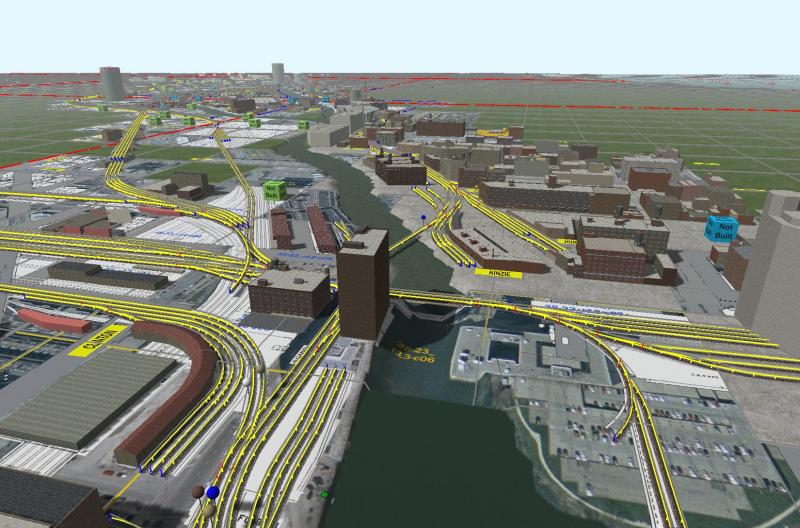
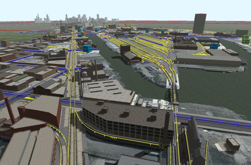
To answer your question, across the river to the right/west of the above scene is the north entrance to Union Station. The view of these buildings is not obstructed. This entrance was used by both the Milwaukee road and Pennsylvania and is a freight pass-thru for yard transfers of LCL shipments between those two railroads (and for the MILW, possibly with other railroads a bit further south, but that's too much to add).
One city block to the north (behind the camera) is an east-west streetcar line (1952) and the east-west elevated loop track. Two blocks south of the camera location (on Madison) is another streetcar line (1952). FWIW, to the east, four of seven streets have tracks, either streetcar (one 1947, two 1952) or the elevated.
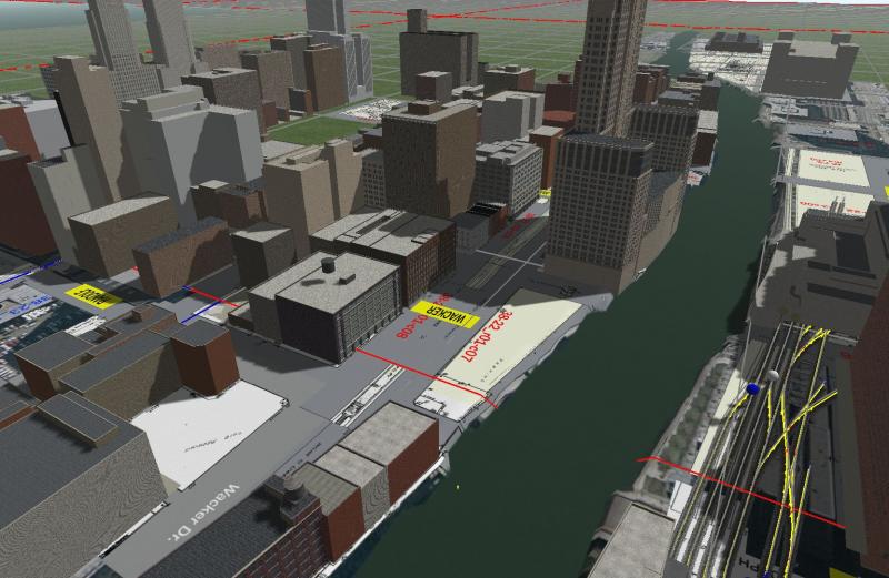
So if I choose to date the route .ca 1947 I can include the elevated's stub terminal and not feel uncomfortable about about more streetcar lines. If instead I choose 1950 then I put in the construction of the subway road on Wacker drive. And by 1952 things would look line the photo I posted in the basenote. I usually pick a 1950-55 time frame for routes but in this case I'll have to give serious consideration to 1947-48.