railguy, on 10 September 2017 - 07:20 AM, said:
accuracy required increases. So, the debate about the accuracy of the OR geographic "model" should not be a foggy debate about opinions of accuracy, but rather about what level of accuracy is acceptable for purposes of the sim.
Fair enough... let's discuss this:
IMO there is a big difference between accurate and perfect. I rather doubt anybody is seriously wanting perfect in OR. Accurate, OTOH, is ill defined, which is to say each route builder, each end users fills in the blank definition themselves. For myself, as a route builder, "Accurate" means I can choose when and where I push the product
in the direction of perfect. In practice that means the software either fixes some very crude problems left over from KUJU and allows me a range of choices in what reference information I can use (there will always be variation within and between national sources of data). IOW, for the most part, ONE answer isn't the answer. For example:
- Terrain is projected into tiles using the least distorted method that is mathematically practical. Or rephrase... no more Goode-Homosoline when you start building a route. If there are several types of projection avail;able where some work better than others in different places inteh world, then a choice of several methods to project DEM data.
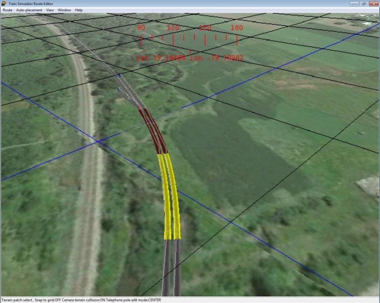
- Terrain projection will accept multiple levels of resolution.
- Terrain projection will accept multiple image formats. This may necessitate use of GIS software for conversions to acceptable formats.
- Editor imports and applies images to terrain, either as textures for the end product or as temporary work aids. Images can be from Google Maps or national geographic sources -- the metadata for application must be lat & lon.
- Editor must be able to repeatedly "halve" terrain resolution on tile subsets. Mesh at edges mapped between resolutions. Editor must record for OR which data file to display for each part of the tile. IOW, if the base grid is 8m the editor should be able to change that mathematically to 4m grid on a subset of a tile and do so repeatedly, going from 8 to 4 to 3 to 1m grid as desired by the route builder.
- Edges between DM and near terrain and mathematically resolved to avoid white gaps.
- Route builder can move terrain to 3dmodeling and back again as a shape file (there is an experimental tool for this now).
- The appearance of water can vary from one body of water to another as well as within a single body of water.
- The altitude of water is just another editable terrain mesh, visible only when the ground mesh is below the the water mesh.
- The altitude of snow on the ground is just another editable terrain mesh, visible only when the ground mesh is below the the snow mesh.
(*)Editor can move any object n meters in d direction using values entered by the user.
There are probably a few more but I'll stop there.
From my perspective the route builder chooses the level of accuracy he builds into his route... high, low, somewhere in between. EVERYTHING else, from paths, activities, the entire perception the end user has, is built upon that foundation. How far towards perfect might be known only to the route builder... but let's not overlook this fact: HE PUT IN THE TIME. HE BUILT IT FOR HIS OWN SATISFACTION. My perception of how OR has played out over the years is these facts have never been appreciated and as a result whatever routes are still being built can be no more accurate than a KUJU route... which is to say terrible skewed. Bogus, really.
Last comment... having been part of the charter team for the OR project I'll add that at that time there were discussions about accuracy and the consensus of opinion was the goal was to push the envelope whenever possible. No consideration was to be given for old, obsolete hardware and operating systems, no consideration was to be given for simply replicating KUJU's solution. The ONLY backward looking aspect was to carry old KUJU content forward because it would give end users something to do with their new game... something that was not done when Railworks issued their game.
Put another way, AFAIR there was never any intent to build a replacement for KUJU's AE and RE. There would be new file definitions and new tools to work with those file definitions and those tools would be working with modern reference data. What we have today is tools still working within a 2001 design. Accurate? Hardly.
 Log In
 Register Now!
 Help
Help