Coonskin, on 23 January 2017 - 04:35 PM, said:
batt:
Thanks for the information! Is the book you linked above a different printing of this book:
http://www.ebay.com/...tYAAOSw0OBYKcjm
OR... is the above NOT the same book? If it's not a different printing of the same book as you referenced (instead being an entirely different book by the same author), then I will purchase the book you linked at Amazon.
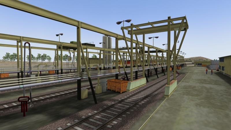
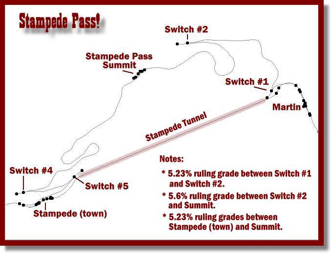
IMHO, no switchback(s) is a good thing. I have track in place for the switchbacks over NP's Stampede Pass from east of Martin to west of the western portal of the tunnel. I took a serious look at this mini-segment for use as a link 'n pin project route. However, once I began some test operation on it, the sameness of operation sort of did me in. I came to the conclusion I was going to have to build MUCH more of the route (I had the needed NED DEM all the way to Tacoma) in order to have sufficient operational variation/opportunities. I think I recall feeling like I needed to build the entire subdivision from Tacoma eastward well past Stampede Pass (to the end of the sub division at some town that I can't recall) in order to gain what I thought I wanted in regards to operational variety/opportunities.
Thank you much for the offer on the USAPhotoMaps data. Hopefully, using the above book and the digital topographical maps available at caltopo.com, I can create the markers needed for the short route over the pass. If not, then I may take you up on the offer. That so, I would send you a pin drive to fill with data. At 13 gigs, you apparently have the data for the entire NP???
When working on a route, do you wait until the very last to add inter-actives, or are you placing them as you go?
All fer now.
Nah, that one's different. Who-ever's selling that has gotten their titles and/or photos crossed. I have that one too though. It covers the various branch lines of the NP throughout western Montana, including the Rimini branch which I've thought about adding to my route at some point in the very distant future.
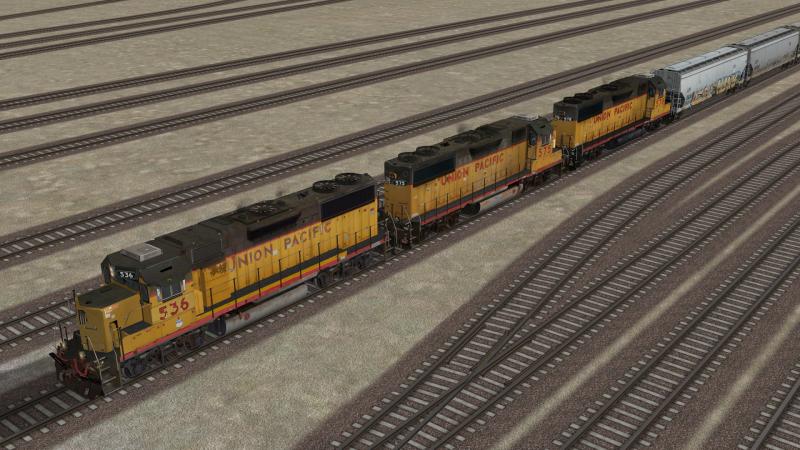
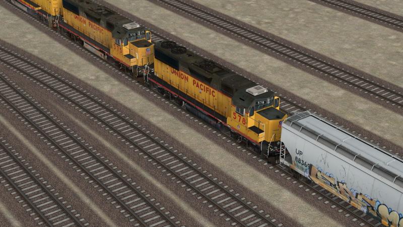
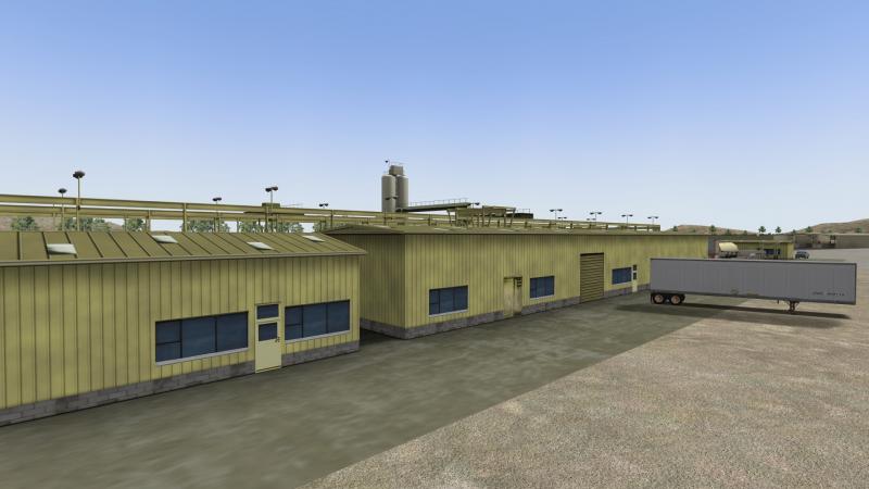
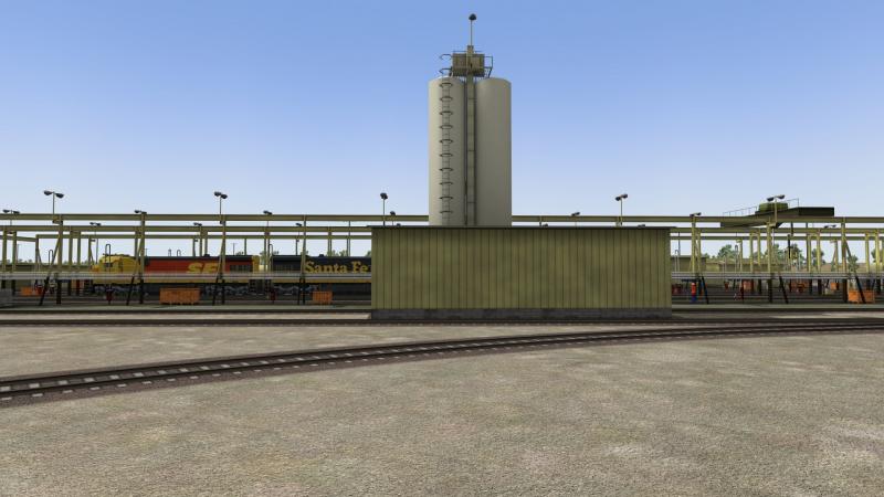
On USAPhotomaps I have everything including branch lines of the NP from Billings, MT to Spokane, WA. I also have the GN from Havre to Spokane, and the Milwaukee from Lombard to Spokane. In addition to those I have the entirety of CB&Q lines in Wyoming and Montana as well as entirety of the Black Hills in South Dakota, the Chicago and Northwestern from Casper to Lander, Wyoming, the UP from Idaho Falls to West Yellowstone, MT, the Alaska Railroad from Seward to Fairbanks, the Copper River and Northwestern from Cordova, Alaska to Kennecott, the Hawaiian Islands(thought about doing a sugar-cane railway once), and all the standard gauge line of the DRGW from Denver/Pueblo, CO to Provo UT. Think I still got the ATSF from Phoenix, AZ up to Williams too.
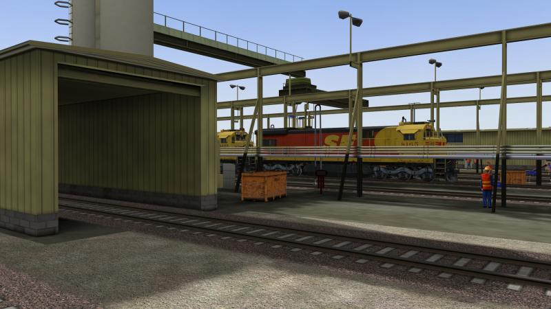
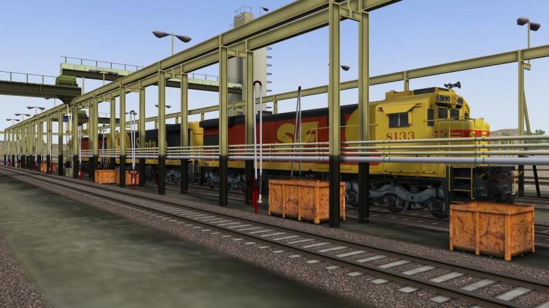
Generally speaking, interactives are the very last things I will add to a route and I'll never touch a track or road once I've put interactives on it. I think its perfectly fine to do Mosaic work after though and you definitely need to have all road and track work in place before doing that.
 Log In
 Register Now!
 Help
Help


 AE_Map120513.jpg